The captain pointed out Nan Madol in the distance. It didn't look like much at first...

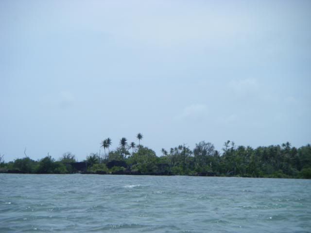
But as we got closer, Nan Madol revealed itself to be a mysterious and amazing half sunken lost city.
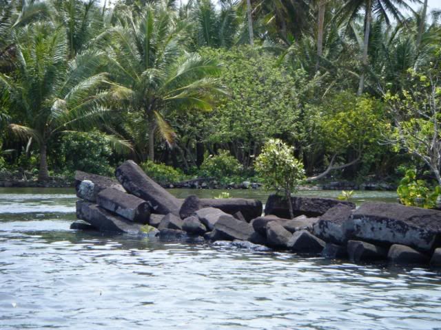
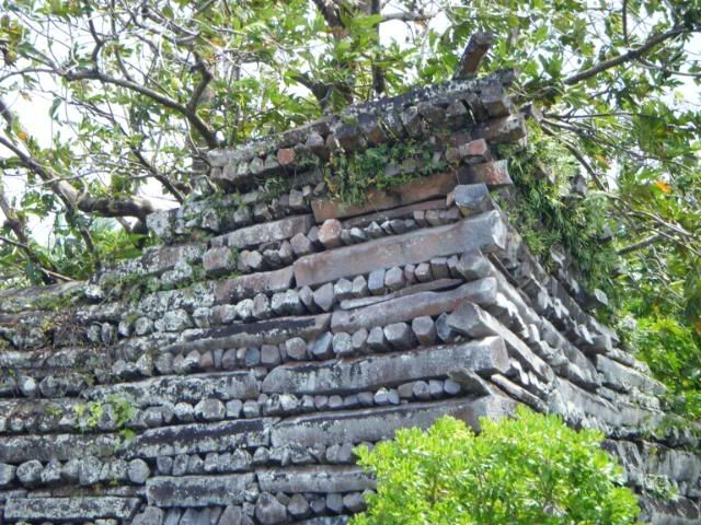
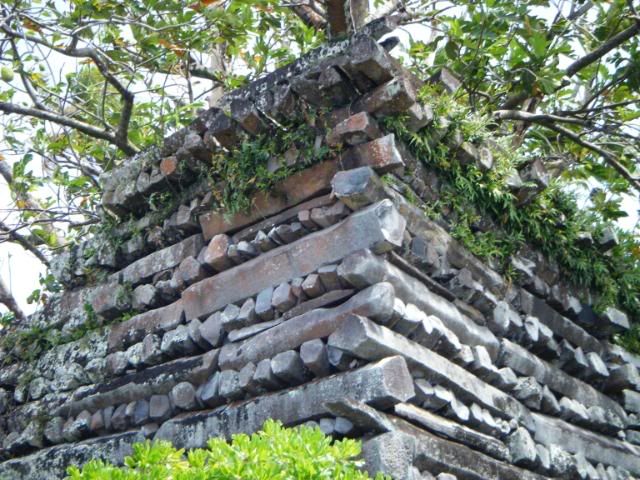
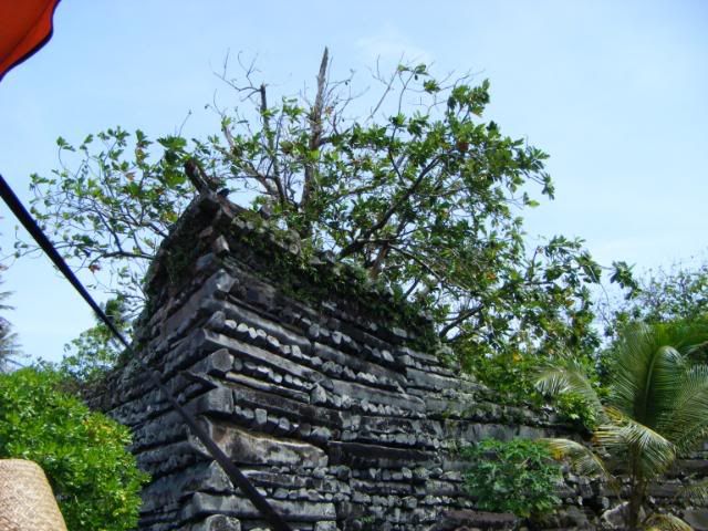
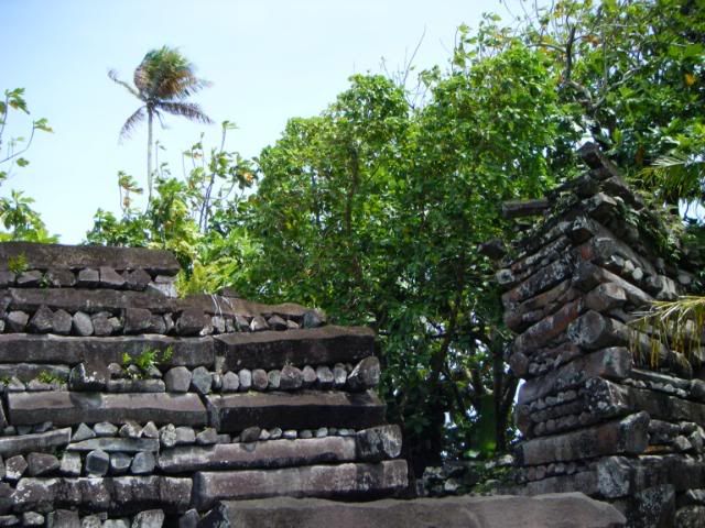
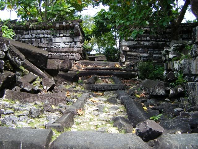
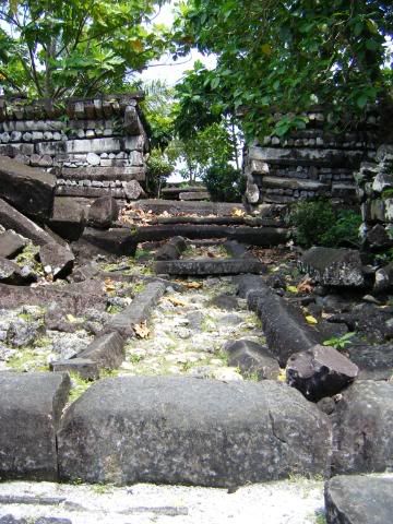
We docked and got out to explore the city. The whole place was a building built right on the water. There wasn't any island that the structure was on. Everything that came up from the water was put there by man.

Quote:
The elite centre was a special place of residence for the nobility and of mortuary activities presided over by priests. Its population almost certainly exceeded 1,000, and may have at one point in time doubled that number. Although many of the residents were chiefs, the majority were commoners. Nan Madol served, in part, as a means by which the ruling Saudeleur chiefs both organized and controlled potential rivals by requiring them to live in the city rather than in their home districts, where their activities were difficult to monitor.
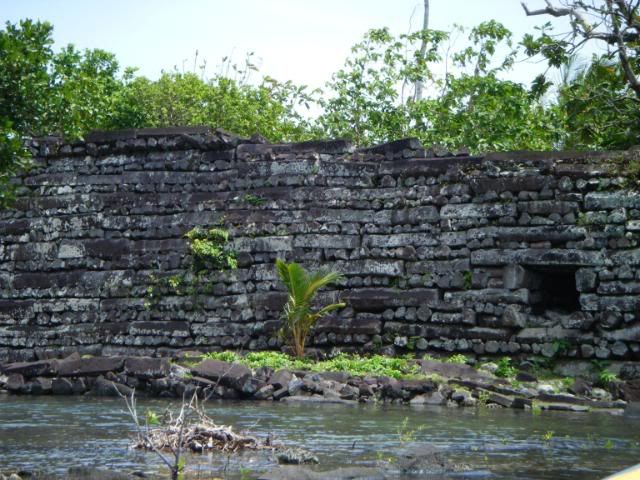
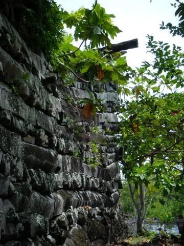
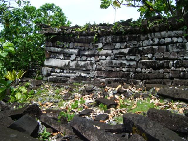
Madol Powe, the mortuary sector, contains 58 islets in the northeastern area of Nan Madol. Most islets were once occupied by the dwellings of priests. Some islets served special purpose, like food preparation on Usennamw, canoe construction on Dapahu, and coconut oil preparation on Peinering. High walls surrounding tombs are located on Peinkitel, Karian, and Lemenkou, but the crowning achievement is the royal mortuary islet of Nandauwas, where walls of 18 to 25 feet (7.6 m) high surround a central tomb enclosure within the main courtyard.
Supposedly there was an escape tunnel beginning at the center of Nan Madol and boring down through the reef to exit into the ocean. Scuba divers continue to look for this "secret" route, but so far a complete tunnel has yet to be discovered.
|

Quote:
Today Nan Madol forms an archaeological district covering more than 18 km² and includes the stone architecture built up on a coral reef flat along the shore of Temwen Island, several other artificial islets, and the adjacent Pohnpei main island coastline. The site core with its stone walls encloses an area approximately 1.5 km long by 0.5 km wide and it contains nearly 100 artificial islets - stone and coral fill platforms - bordered by tidal canals.
Carbon dating indicates that the construction of Nan Madol began around AD 1200, while excavations show that the area may have been occupied as early as 200 BC. Some probable quarry sites around the island have been identified, but the exact origin of the stones of Nan Madol is yet undetermined. None of the proposed quarry sites exist in Madolenihmw, meaning that the stones must have been transported to their current location. It has been suggested that they might have been floated via raft from the quarry, but no one has successfully demonstrated the process. Archaeologists have yet to unravel the mystery, and some modern Pohnpeians believe the stones were flown to the island by use of black magic; however, a short dive between the island and the quarries shows a trail of dropped stones.
In 1985, the ruins of Nan Madol were declared a National Historical Landmark. Currently, a greater effort is being made to preserve them. Permission for a visit is necessary and a small fee is charged.
|
Our tour guide was telling us the story about the theories on how Nan Madol was built.

TBC